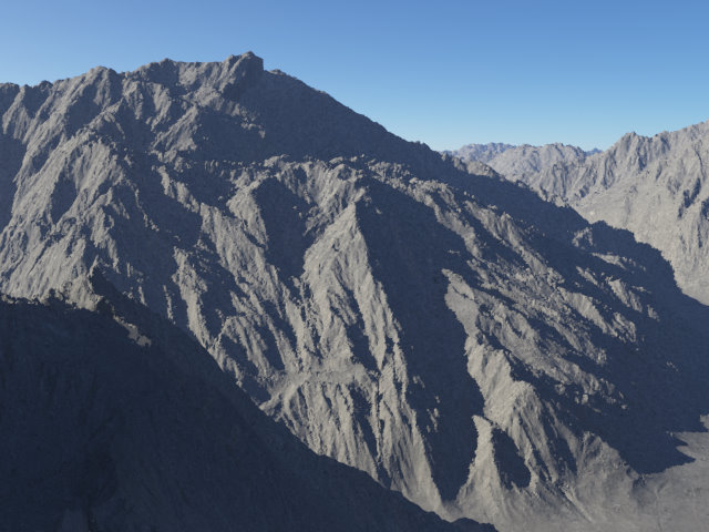
User Generated Content: Terrain
Please note: this is user-generated content
Contents
Heightfield[edit]
A heightfield is file that describes altitude. In a visually interpreted file it is shown in black and white. White represents the highest point, and black the lowest. Various shades of gray are everything in between.
Heightfields can be modified by various factors including, but not limited to: Colours, fractal noise, vertical height, erosion and rivers.
Heightfield (load file)[edit]
Here you can import an externally made file to serve as altitude cues.
Terragen uses the following files.
Terragen Heightfield - *.ter Bitmap - *.bmp Targa - *.tga Any - *.* -- jpg for instance, though not recommended as it's inaccurate
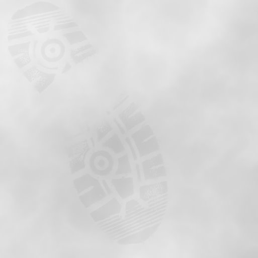
Example of a custom height map:
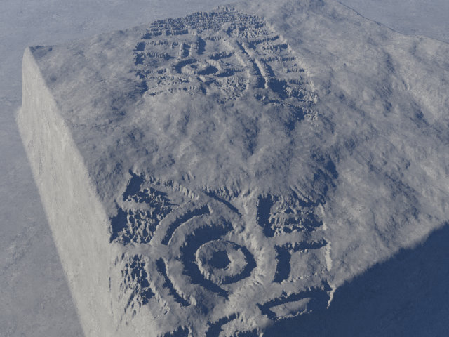
Result
Heightfield (generate)[edit]
As the name suggest, this is a heightfield made within Terragen. The advantages to this:
- Stay in Terragen
- Easier to scale
- Can be adjusted by the same modifiers as the rest of the program
Fractals[edit]
Fractals (in this context) are how Terragen generates terrain that goes to the horizon.
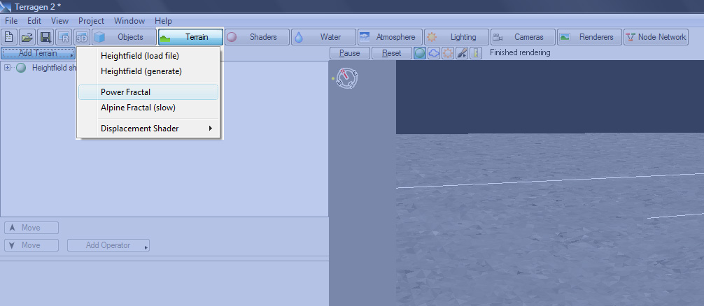
Power Fractal[edit]
- Quicker to calculate and draw
- Based on Perlin Noise
- Can look more unnatural
Alpine Fractal (Slow)[edit]
- Controlled mainly by scale and deposition (building up layers of sediment)
- More natural looking
- Slow
Displacement Shader[edit]
Various shaders which modify the underlying terrain.
- Fake Stone Shader -- Can be used in place of said object
- Crater Shader – eliminate the need for custom heightmaps for holes
- Twist and shear shader – windblown look, can create overhanging terrain
A heightmap or heightfield is an array of height values, usually in a grid which describe the height at specific points in a defined area. Heightfields are used to represent real-world and virtual terrain in a specific, easily converted format. Most heightfields can be represented as simple image data in grayscale, with black being minimum height and white being maximum height.
A shader is a program or set of instructions used in 3D computer graphics to determine the final surface properties of an object or image. This can include arbitrarily complex descriptions of light absorption and diffusion, texture mapping, reflection and refraction, shadowing, surface displacement and post-processing effects. In Terragen 2 shaders are used to construct and modify almost every element of a scene.
