MOLA Map Shader
Overview[edit]
The MOLA Map Shader is a specialized node designed to load Mars Orbital Laser Altimeter (MOLA) heightfield data of the planet Mars.
Settings:
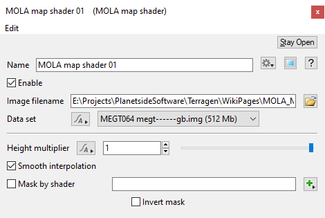
- Name: This setting allows you to apply a descriptive name to the node, which can be helpful when using multiple MOLA shader nodes in a project.
- Enable: When checked, the node is active and the settings below will affect the surface. When unchecked, the node is ignored.
- Image filename: The MOLA image sequence assigned to this setting is used to displace the surface. You can choose any of the MOLA data set files, usually a IMG or LBL file, and Terragen will load all of the data and set the "Data set" option automatically.
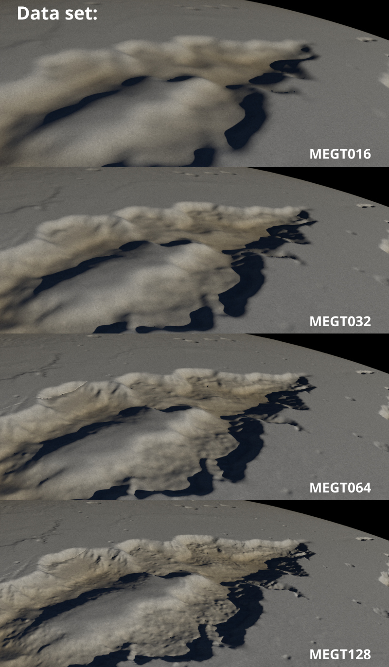
- Data set: This pop-up menu has four options that allow you to conveniently switch between the different resolutions of the MOLA data sets when they reside in the same folder. For example, if the MEGT016, MEGT032, MEGT064, and MEGT128 data sets are located in the same folder you can easily select which data set to use from the pop-up menu. When the data sets are located in separate folders, then the pop-up menu option will automatically be set to the correct data resolution when one of the data files is chosen via the “Image filename” setting.
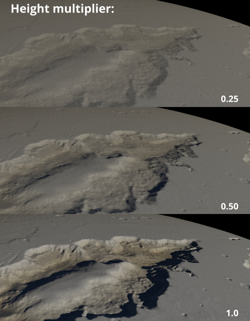
- Height multiplier: The value of this setting acts as a multiplier to the height data contained in the MOLA IMG file. Increasing the value raises the height of the terrain features, while decreasing the value lowers them. To get realistic heights of the Martian topography, set the Height multiplier to “1” and the Planet’s “Radius” value to match that of Mars at its equator, which is 3,396,200 meters or “3.398e+06”.
- Smooth interpolation: This setting has been deprecated and it makes no difference whether the checkbox has been checked or not. Terragen will smoothly interpolate values in-between the MOLA height data whether or not the checkbox has been checked.
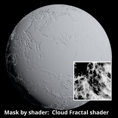
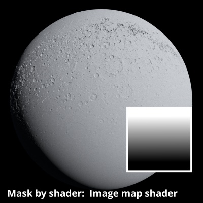
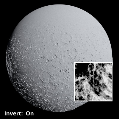
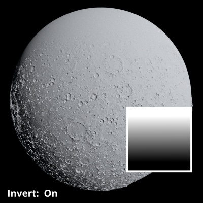
- Mask by shader: When checked, the shader or function nodes assigned to this setting act as a mask on the MOLA data. Values of 1, or white, have no effect, while values of 0, or black, mask out the MOLA data completely, returning the surface to its undisplaced state.
- Invert mask: When checked, the shader or function nodes values assigned to the “Mask by shader” setting are inverted.
A heightmap or heightfield is an array of height values, usually in a grid which describe the height at specific points in a defined area. Heightfields are used to represent real-world and virtual terrain in a specific, easily converted format. Most heightfields can be represented as simple image data in grayscale, with black being minimum height and white being maximum height.
A single object or device in the node network which generates or modifies data and may accept input data or create output data or both, depending on its function. Nodes usually have their own settings which control the data they create or how they modify data passing through them. Nodes are connected together in a network to perform work in a network-based user interface. In Terragen 2 nodes are connected together to describe a scene.
A shader is a program or set of instructions used in 3D computer graphics to determine the final surface properties of an object or image. This can include arbitrarily complex descriptions of light absorption and diffusion, texture mapping, reflection and refraction, shadowing, surface displacement and post-processing effects. In Terragen 2 shaders are used to construct and modify almost every element of a scene.
Literally, to change the position of something. In graphics terminology to displace a surface is to modify its geometric (3D) structure using reference data of some kind. For example, a grayscale image might be taken as input, with black areas indicating no displacement of the surface, and white indicating maximum displacement. In Terragen 2 displacement is used to create all terrain by taking heightfield or procedural data as input and using it to displace the normally flat sphere of the planet.
A detailed graphic representation of the surface features of a place or object. The features themselves; terrain.
Deprecated items are still supported and available to use but their use is not recommended. Such items will be removed at some point in the future. In most cases an alternative is recommended and that should be used instead.
