Heightfield Smooth
Overview[edit]
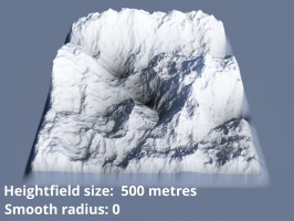
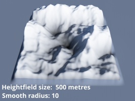
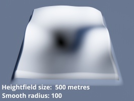
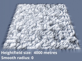
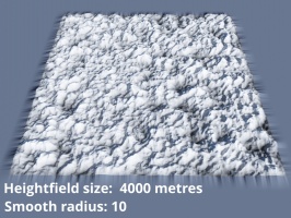
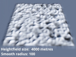
This node smooths a heightfield by averaging the sample points within the “Smooth radius” value. This value is defined in metres and in world space. It is not dependent on the heightfield’s resolution, ensuring that the smoothing effect will be “similar” whether a heightfield's resolution is 1024 x 1024 or 8k.
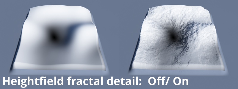
Fractal detail can be added to the smoothed heightfield via the Heightfield’s Fractal Detail tab.
Settings:
- Name: This setting allows you to apply a descriptive name to the node, which can be helpful when using multiple Heightfield smooth nodes in a project.
- Smooth radius: Sets the maximum distance in metres from the sample point being smoothed. The sample points within this radius are averaged together forming the final smoothed value. The smoothing process is similar to a gaussian blur falloff; that is, sample points closer to the point being smoothed have greater influence on the smoothing result than points further away.
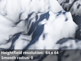
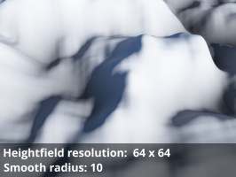
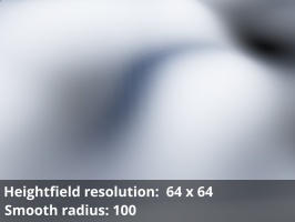
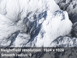
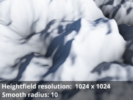
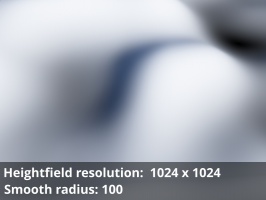
The smoothing effect is independent from the heightfield’s resolution, whether expressed as the “Number of points” setting or the number of pixels in an image file. What matters is the distance in meters which is based on world space. Notice in the example images below that although the heightfield resolutions are very different the final smoothing across the terrain looks very similar.
A heightmap or heightfield is an array of height values, usually in a grid which describe the height at specific points in a defined area. Heightfields are used to represent real-world and virtual terrain in a specific, easily converted format. Most heightfields can be represented as simple image data in grayscale, with black being minimum height and white being maximum height.
A sample refers to a value or set of values at a point in time and/or space. The defining point of a sample is that it is a chosen value out of a continuous signal. In Terragen 2 it is usually a mathematical (procedural) function that is being sampled.
A single object or device in the node network which generates or modifies data and may accept input data or create output data or both, depending on its function. Nodes usually have their own settings which control the data they create or how they modify data passing through them. Nodes are connected together in a network to perform work in a network-based user interface. In Terragen 2 nodes are connected together to describe a scene.

