Heightfield Erode v3
Overview[edit]
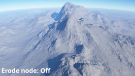
Heightfield Erode simulates the natural effects of weather and water flow on the terrain over a period of time. It enhances the realism of a heightfield by creating gorges, chasms and redistribution of the surface material.
Settings:
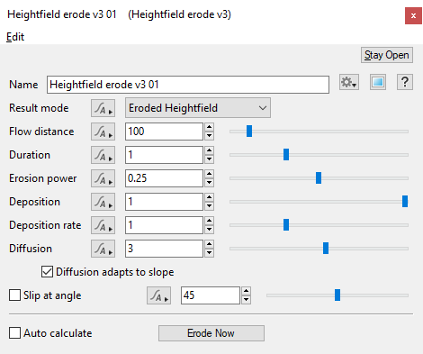
- Name: This setting allows you to apply a descriptive name to the Erode node, which can be helpful when using multiple erosion processes on a heightfield.
- Result mode: This menu has two options.
Erode Heightfield: This option erodes the terrain based on the various settings below.
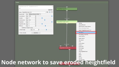
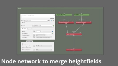
Difference (Erosion Field): This option returns the difference between the calculated erosion process and the original heightfield it was generated from. Once saved via right clicking on the node in the Node Network pane (see image below) as a TER or EXR file, it can be merged with the original Heightfield allowing the amount of erosion to be increased or decreased or even animated.
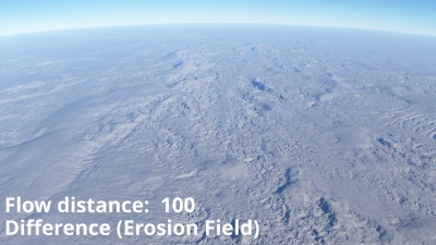
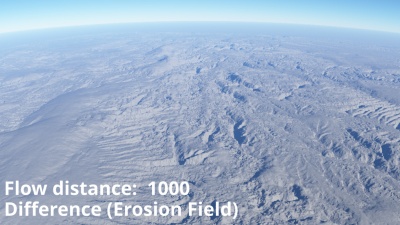
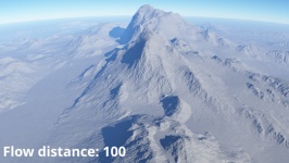
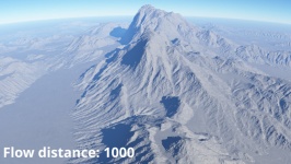
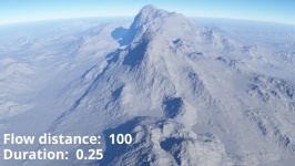
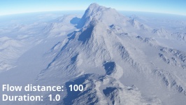
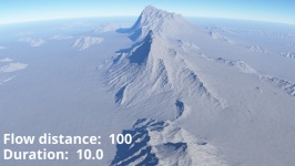
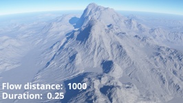
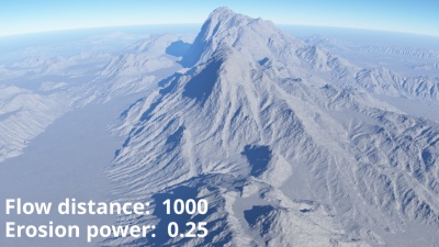
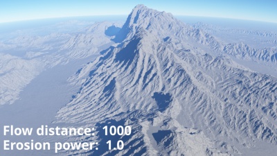
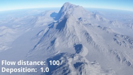
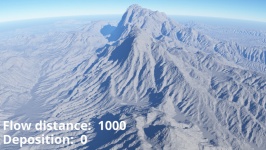
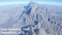
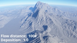
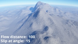
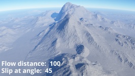
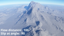
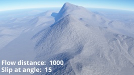
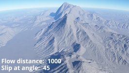
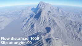
- Flow distance: This setting controls the overall length of a channel or groove that is eroded.
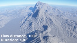
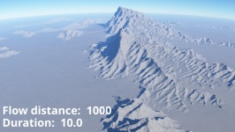
- Duration: This setting represents time. The higher the value the more time elapses, therefore more erosion and channels are created and the more time they have to interact with each other.
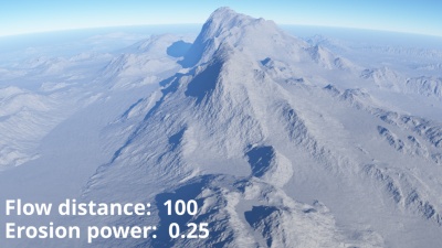
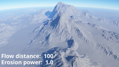
- Erosion power: This setting controls how deep a channel or groove is. A value of 1 represents the highest possible erosion that could occur over the “Duration” value, or a given period of time.
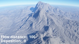
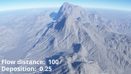
- Deposition: This setting controls how much of the eroded material is deposited along the flow channel. A value of 1 is the most accurate, meaning that all of the eroded material is deposited along the flow channel.
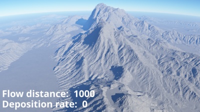
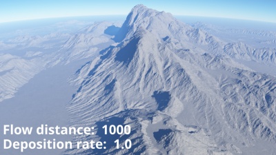
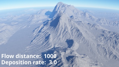
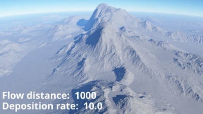
- Deposition rate: This setting controls whether the redistribution of eroded material along the flow channel is biased towards the beginning or end of the flow channel.
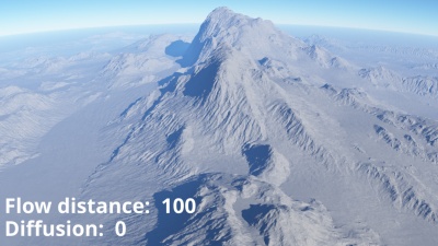
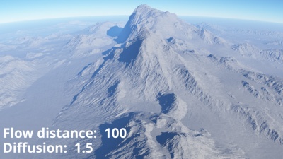
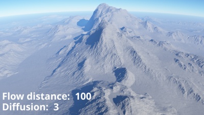
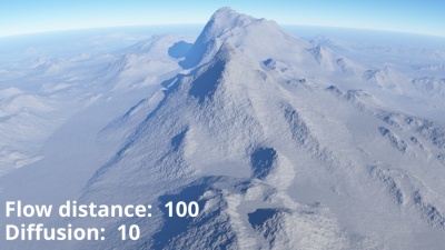
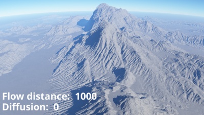
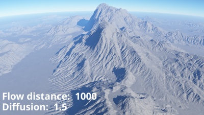
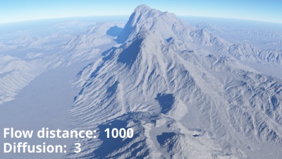
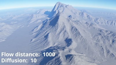
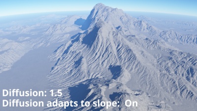
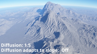
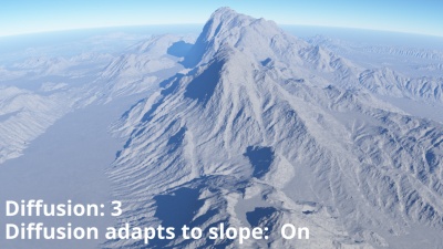
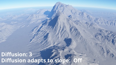
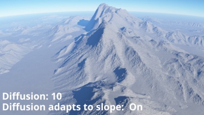
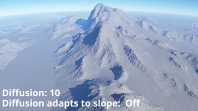
- Diffusion: This setting adds some random variation to the flow directions, which can simulate roughness in the terrain, and make the flows more likely to interact with each other.
- Diffusion adapts to slope: When enabled, the amount of diffusion depends on the slope of the terrain at each point being eroded. Gentle slopes have less diffusion and steep slopes have more diffusion.
- Slip at angle: This setting controls the angle at which the terrain begins to slip. A value of 90 degrees is the same as the setting being unchecked or off. Lower values allow steep slopes to erode quickly while higher values preserve them.
- Auto calculate: When checked, or enabled, changes made to the heighfield settings will automatically cause the erosion calculations to begin.
- Erode Now: Clicking this button starts the calculations for the erosion process.
A heightmap or heightfield is an array of height values, usually in a grid which describe the height at specific points in a defined area. Heightfields are used to represent real-world and virtual terrain in a specific, easily converted format. Most heightfields can be represented as simple image data in grayscale, with black being minimum height and white being maximum height.
A single object or device in the node network which generates or modifies data and may accept input data or create output data or both, depending on its function. Nodes usually have their own settings which control the data they create or how they modify data passing through them. Nodes are connected together in a network to perform work in a network-based user interface. In Terragen 2 nodes are connected together to describe a scene.
