Heightfield Smooth
Overview[edit]
Settings:
- Name: This setting allows you to apply a descriptive name to the node, which can be helpful when using multiple Heightfield smooth nodes in a project.
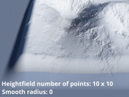
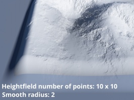
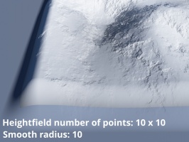
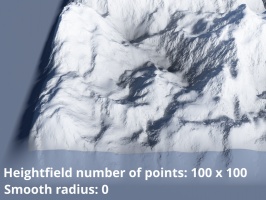
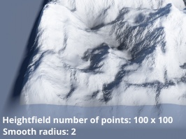
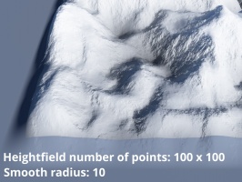
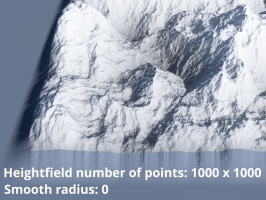
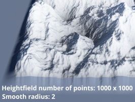
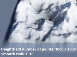
- Smooth radius: Sets the number of nearest points to include in evaluating the smoothness of the sample point. The higher the value the smoother the terrain.
A single object or device in the node network which generates or modifies data and may accept input data or create output data or both, depending on its function. Nodes usually have their own settings which control the data they create or how they modify data passing through them. Nodes are connected together in a network to perform work in a network-based user interface. In Terragen 2 nodes are connected together to describe a scene.
A sample refers to a value or set of values at a point in time and/or space. The defining point of a sample is that it is a chosen value out of a continuous signal. In Terragen 2 it is usually a mathematical (procedural) function that is being sampled.

