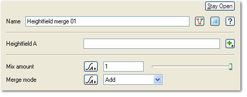
Heightfield Merge
Node Description and Purpose: Heightfield Merge allows you to merge two heightfields together based on simple settings that control the amount of heightfield mixing and the type of mixing method used.
A heightmap or heightfield is an array of height values, usually in a grid which describe the height at specific points in a defined area. Heightfields are used to represent real-world and virtual terrain in a specific, easily converted format. Most heightfields can be represented as simple image data in grayscale, with black being minimum height and white being maximum height.
