Heightfield Curve Vertical
Overview[edit]
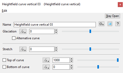
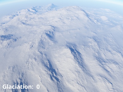
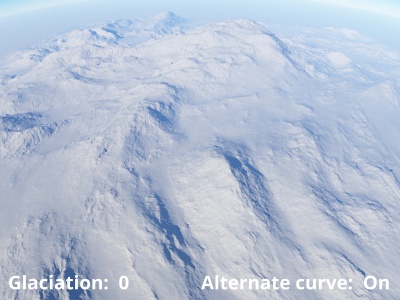
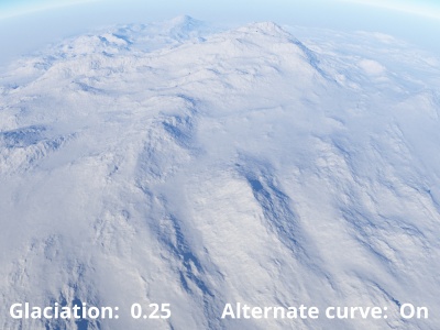
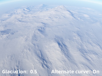
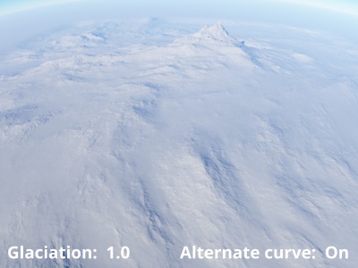
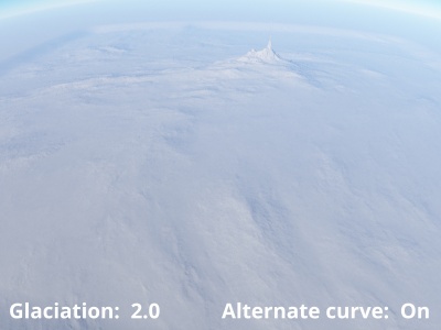
The Heightfield Curve Vertical node simulates the process of glaciation, which is the erosion of terrain by ice glaciers and the debris contained within them, over a period of time.
Settings:
- Name: This setting allows you to apply a descriptive name to the node, which can be helpful when using multiple Heightfield curve vertical nodes in a project.
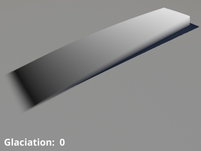
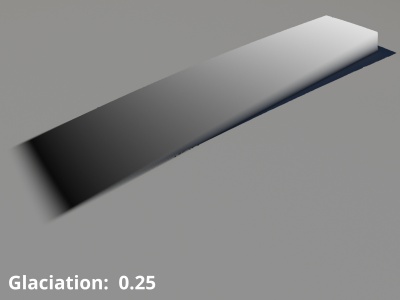
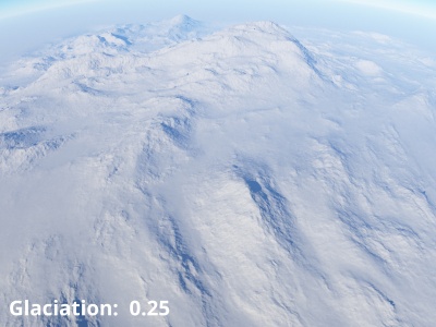
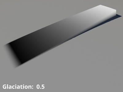
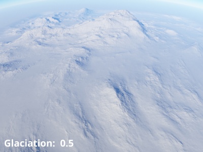
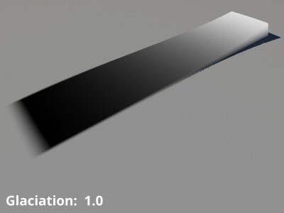
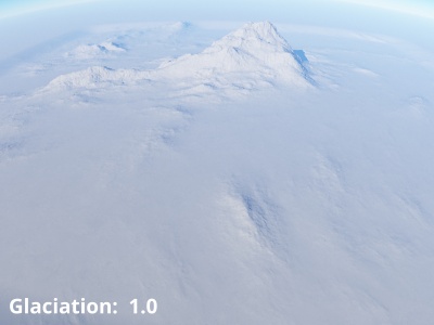
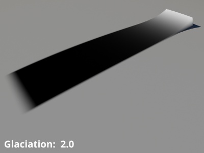
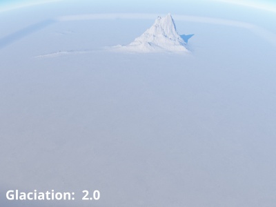
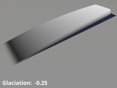
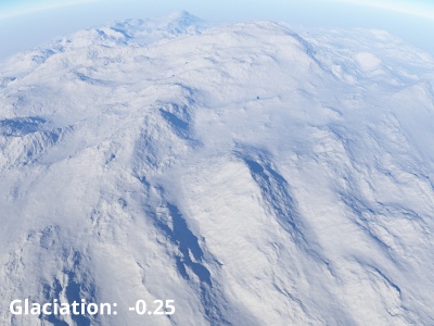
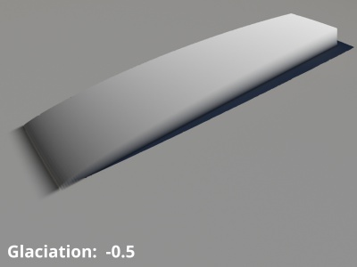
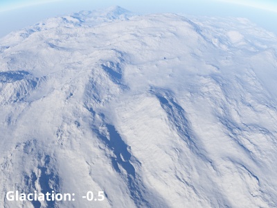
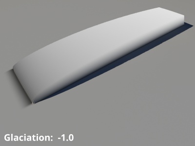
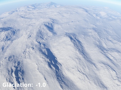
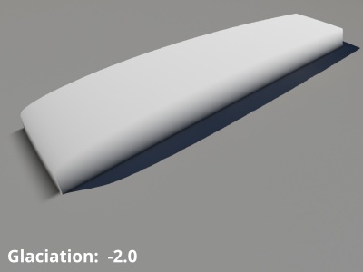
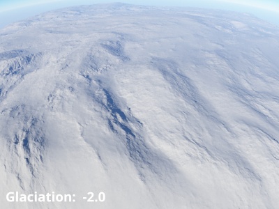
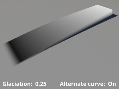
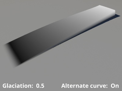
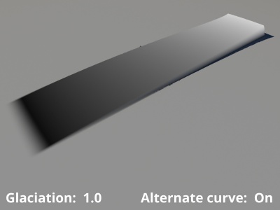
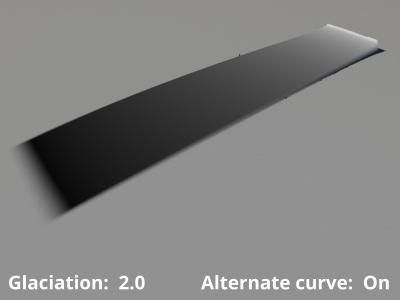
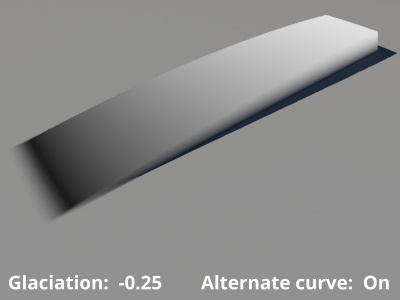
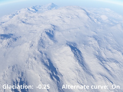
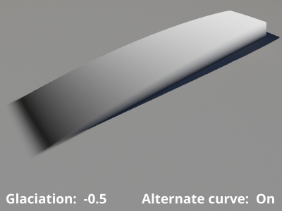
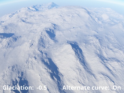
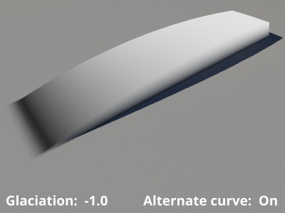
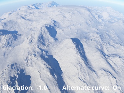
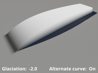
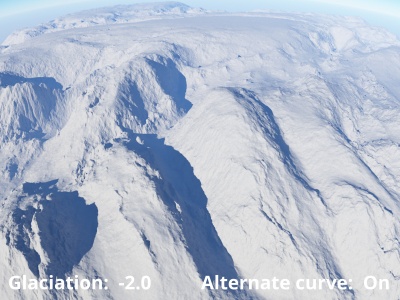
- Glaciation: This setting controls the amount of erosion. Positive values cause the lower altitudes of the terrain to wear down, towards a smooth version of the planet surface. Negative values cause the lower altitudes of the terrain to inflate and rise towards the highest altitude of the heightfield.
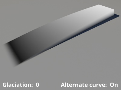
- Alternative curve: When enabled, a different version of the curve is used to guide the erosion process. This affects the shape of the eroded terrain.
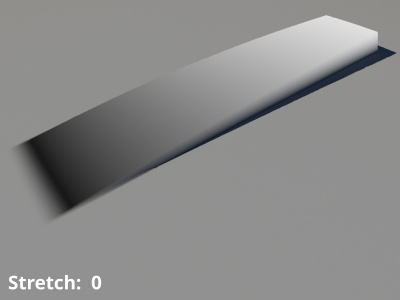
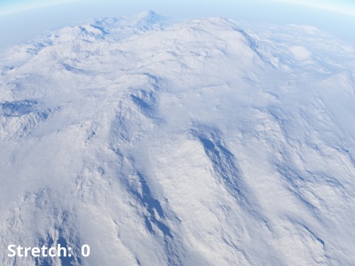
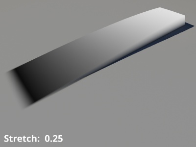
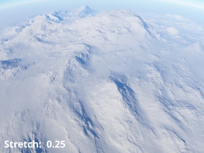
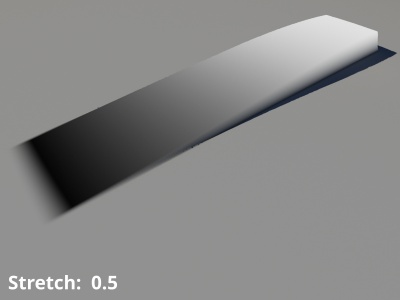
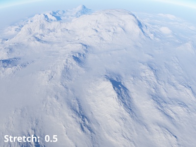
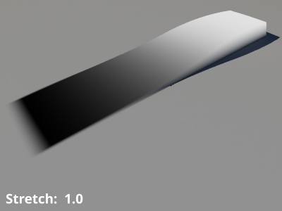
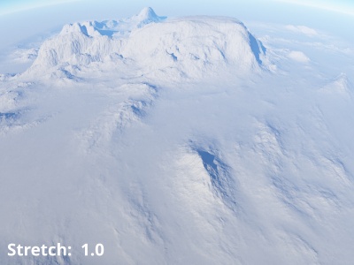
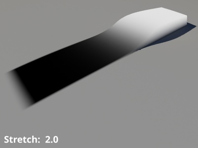
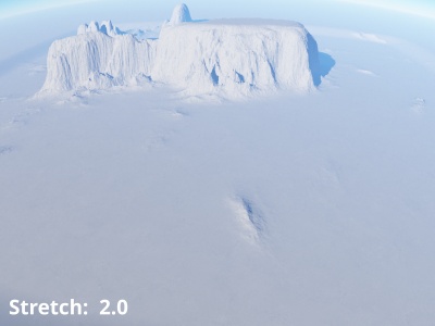
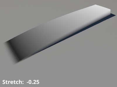
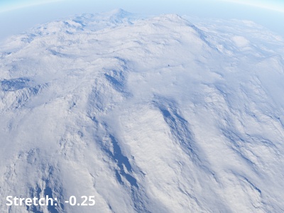
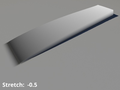
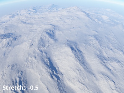
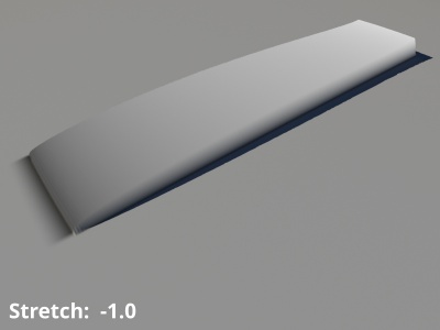
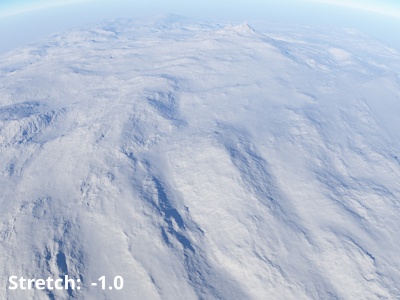
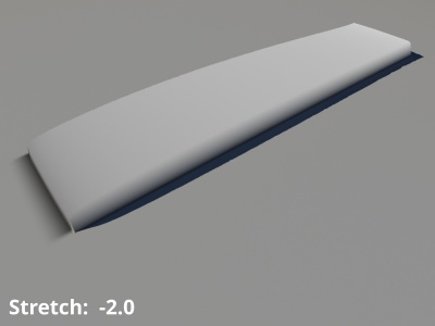
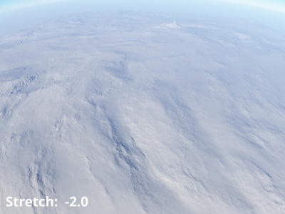
- Stretch: This setting allows you to bias the curve used to shape the erosion process. Positive values cause the mid-altitude terrain features to rise towards the highest altitude of the heightfield while the lower altitude terrain features are pushed towards the lowest altitude in the heightfield. Negative values cause the lower altitude terrain features to rise while the upper altitude terrain features wear down, both moving towards the mid-altitude levels of the heightfield.
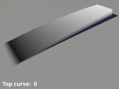
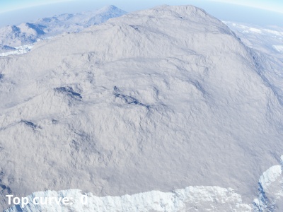
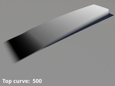
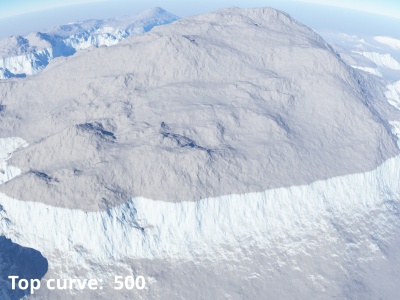
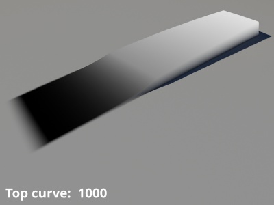
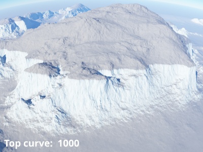
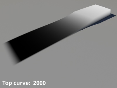
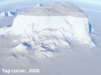
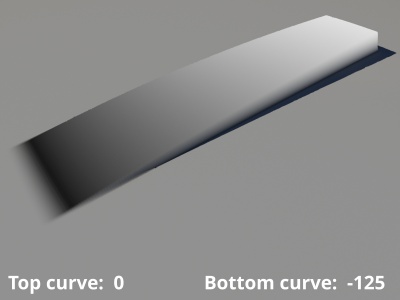
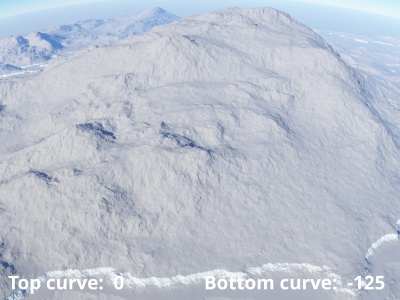
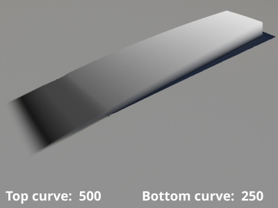
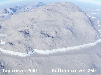
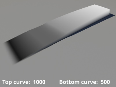
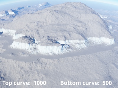
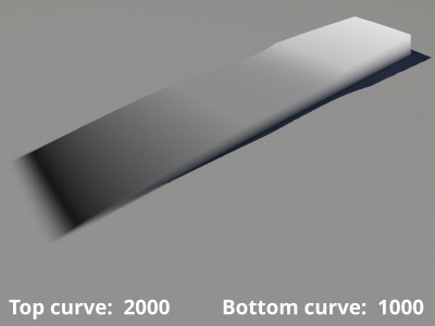
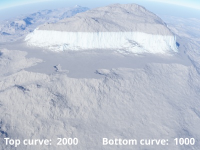
- Top of curve: When checked, or enabled, this setting sets the maximum altitude or top of the glaciation effect. When unchecked the maximum altitude is the maximum height of the heightfield. This value can be seen in the Statistics section of the Heightfield load node.
- Bottom of curve: When checked, or enabled, this setting sets the minimum altitude or base of the glaciation effect. When unchecked the minimum altitude is the minimum height of the heighfield. This value can be seen in the Statistics section of the Heightfield load node.
A single object or device in the node network which generates or modifies data and may accept input data or create output data or both, depending on its function. Nodes usually have their own settings which control the data they create or how they modify data passing through them. Nodes are connected together in a network to perform work in a network-based user interface. In Terragen 2 nodes are connected together to describe a scene.
A heightmap or heightfield is an array of height values, usually in a grid which describe the height at specific points in a defined area. Heightfields are used to represent real-world and virtual terrain in a specific, easily converted format. Most heightfields can be represented as simple image data in grayscale, with black being minimum height and white being maximum height.
